
WHAT IF I TOLD YOU. What if I told you we took our Jeep on a drive over the mountains shown in the first picture of the series? Would you believe me? What if I told you that we found about 30 big horn sheep climbing precariously on the cliffs at the side of the road? What if I told you we also found a large herd of Roosevelt Elk on the plains below the mountains? Would you believe me?
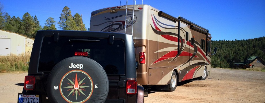
WHAT A RIDE. The Rangers at the campground where we’re staying told us of a very rugged yet “4 wheel-drive-vehicle passable” dirt road that climbs to the top of the mountains and then descends to beautiful vast plains on the other side. Then, we’d come upon the Los Alamos Demolition Army Base, still a top secret facility and famous for the national laboratory initially organized during World War II for the design of nuclear weapons as part of the Manhattan Project. As a bonus, the Rangers said the chances were very good that we’d see elk and bighorn sheep along the way. Even if we didn’t, they highly recommended the drive so long as we paid close attention to the weather forecast and took some provisions and emergency supplies for use in a pinch. I’m not much of a risk taker, but we decided to take the drive. Armed with our large first aid kit, a gallon jug of water, flashlights, two GPS devices, cameras and cell phones (turns out there was absolutely no coverage) we left “civilization” at about half-past noon. It was a nail-biter along many sections of the road. My photos simply don’t do it justice! Because when I was driving up a really steep grade or navigating over some large rocks or ruts I was in no position to stop and take pictures. And even though we weren’t going more than about 5 mph much of the way, Florence was hanging on for dear life! But you’ll certainly get a good sense for the drive, and we’re sure glad we did it.
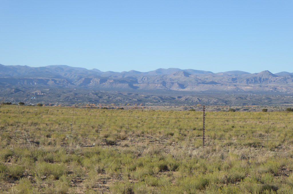
These are the mountains we traversed in our Jeep. I’d never have believed it would be possible.
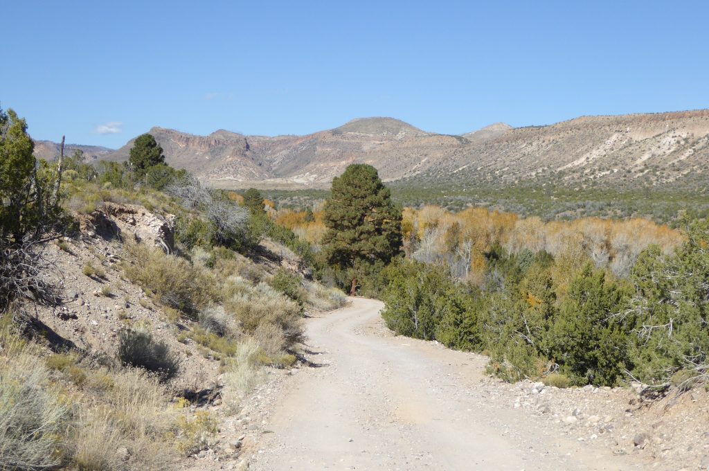
The first part of the ride was easy, but the road got more and more challenging as we progressed.
The road was narrow and as we plowed along, I wondered to myself what would happen if another vehicle was coming down the mountain and we met on the road. No way could either of us pass the other! Well, my curiosity didn’t last too much longer, because we did encounter another truck. Fortunately, at that point I was driving uphill and he was coming down. So, per rules of the road, he backed up ever so slowly for about 25 yards until there was a spot wide enough for us to pass. Whew! In the distance you can see the ribbon of road we took all the way up and over the mountain.
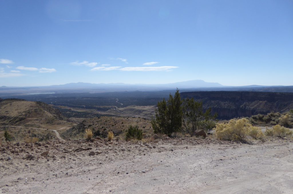
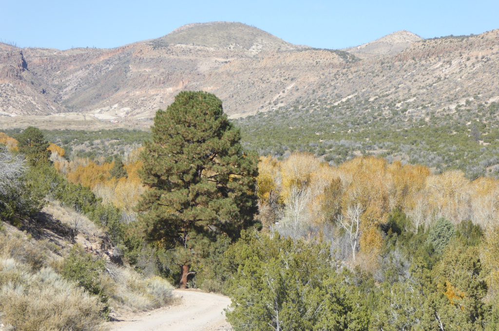
Higher and higher! I forgot to check on our Rand McNally GPS to see what the elevation was at this point. But it was getting pretty high for sure! Back at “base camp” the elevation is over 7,00 feet above sea level.
You can see the ribbon of road we climbed to reach this point. Believe me, these photos don’t give a clue as to the real condition of the road. Rutted, muddy in places and littered with rocks so large I didn’t think we could make it. But there was no turning around, literally!
At about this location, another Jeep caught up with us. Turns out he was a local guy and was showing a friend the area! So we had something of a guide as we continued our trip, stopping where he stopped and learning some local lore about the area.

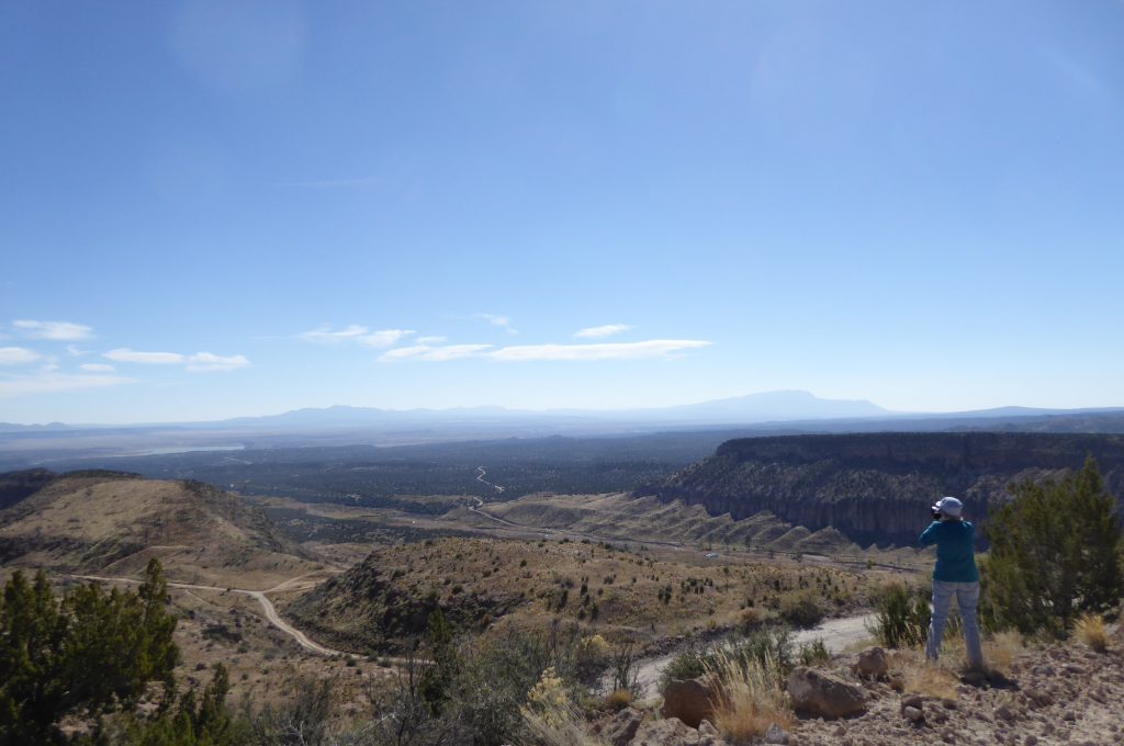
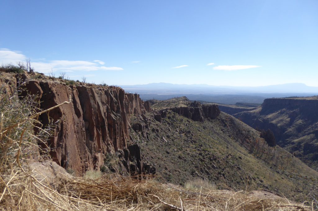
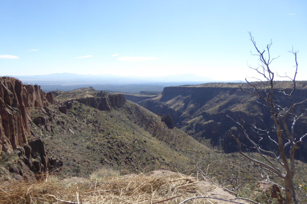
This is one of the steep drop-offs along the side of the road. See the rock ledge on the right side of the photo? Our guide told us that’s called “Suicide Leap” and it’s about a 1,000 foot drop!
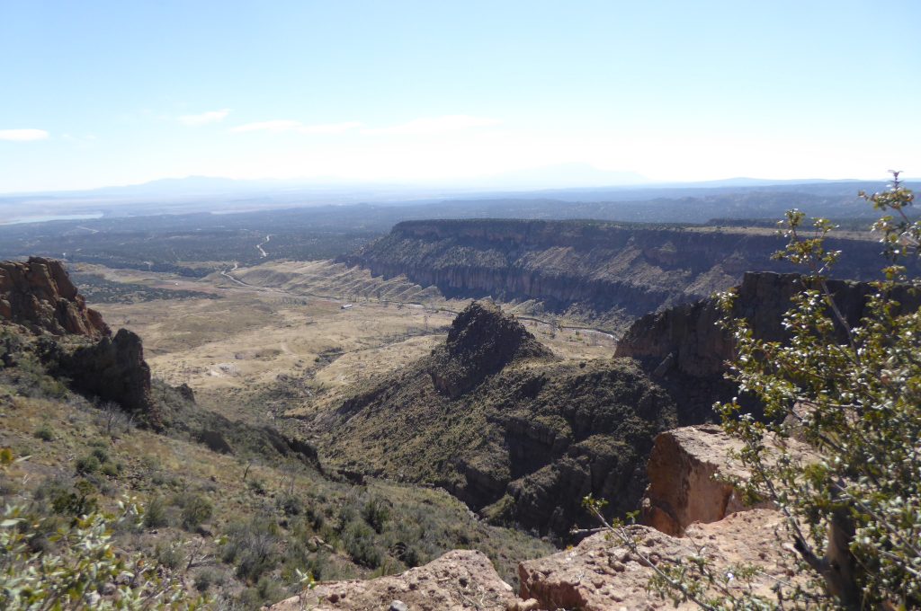
Another view from “Suicide Leap.”
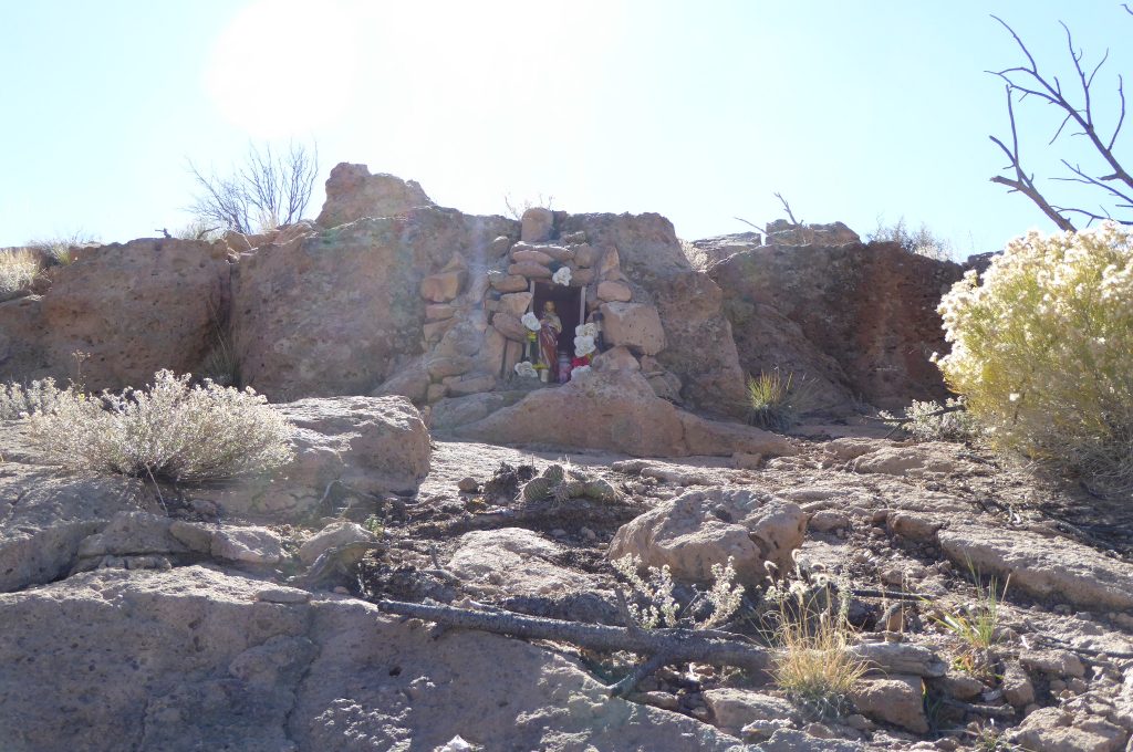
This is a grave marker maintained by the family of a man who met his death at “Suicide Leap.” Our route took us from the bottom-right corner of this photo up and around the bush to the right! Whoa Nelly!
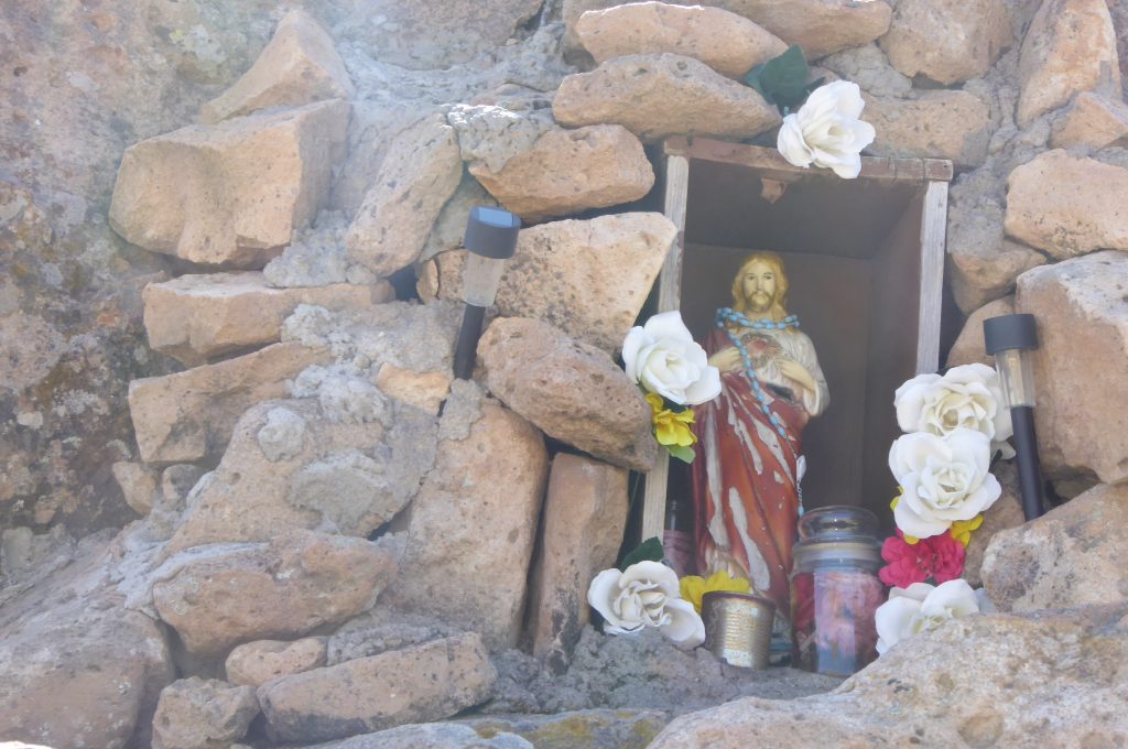
There are a couple of solar powered lights by the marker. I can’t even fathom being up here at night.
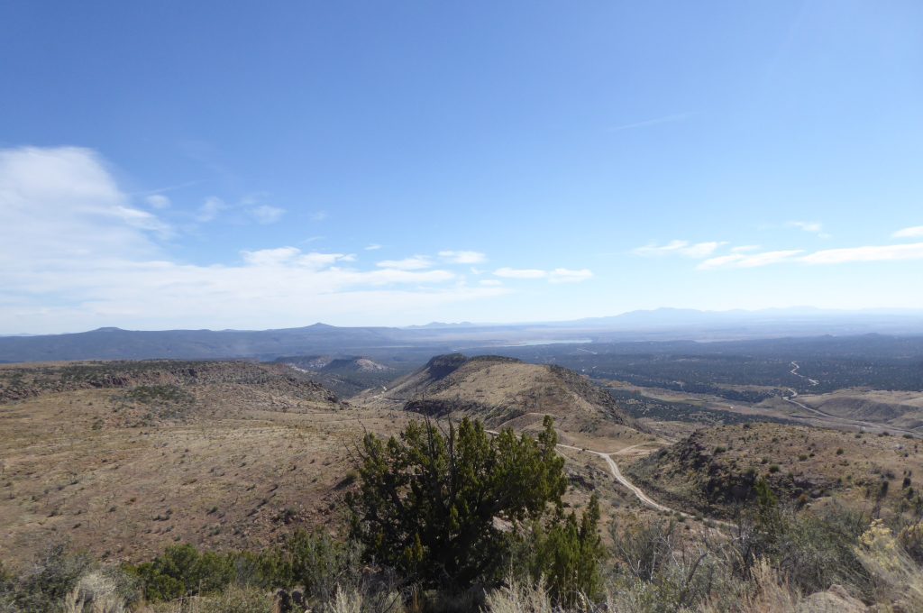
Remember those Bighorn Sheep I mentioned? This is the area where they live. And I’m sorry to report that we didn’t see even one! Our guide said he counted thirty of them right here just a week ago!
Way in the distance, just below the horizon is where today’s trip began!
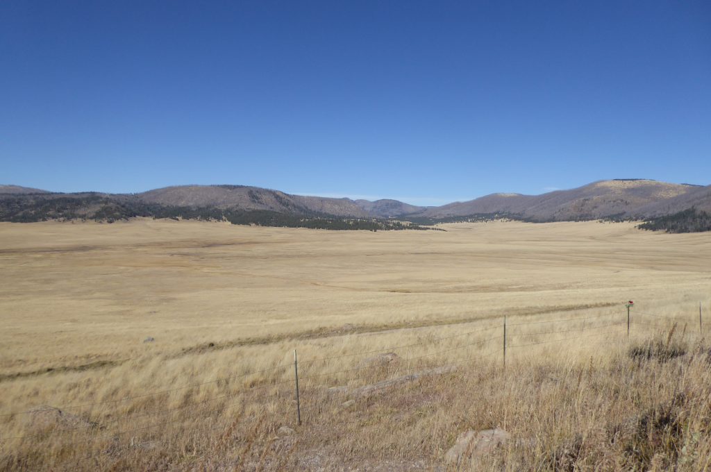
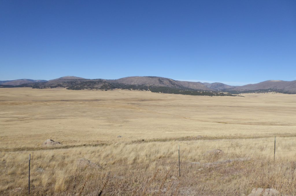
VALLE GRANDE. The Great Valley. We’re now over the mountains and we’ve come upon the valley below. About one million years ago, this magnificent valley was formed by collapse, after a series of tremendous volcanic eruptions ejected a volume of material more than 500 times greater than the 1980 eruption at Mt. St. Helens in the state of Washington. This event climaxed more than 13 million years of volcanic activity in these mountains.
And what about the herd of Roosevelt Elk? Nope, this is where they live and we didn’t see any of them, either. But a small sign by the road made it clear that this is in fact where the herd resides. “In the last half of May and the first half of June each year, the National Preserve Elk herd will give birth to the calves. The will use the Valle Grande as their primary birthing grounds.” What follows on the sign is a lengthy set of guidelines on how to enjoy watching without disturbing the cows and their calves.
After our long somewhat tense drive over the mountains, we enjoyed the peaceful feeling of this large prairie.
LOS ALAMOS NATIONAL LABORATORY AND DEMOLITION RANGE. Now we’re on a two lane paved road, headed eight miles north to the Los Alamos facilities. Similar to Area 51 in a remote area of Nevada, Los Alamos is a highly classified facility initially organized during World War II for the design of nuclear weapons as part of the Manhattan Project. It was our country’s top secret location for bomb design. At the time it was known as Project Y, one of a series of laboratories located across the United States given letter names to maintain their secrecy. Los Alamos was the center for design and overall coordination, while the other labs, today known as Oak Ridge and Argonne, concentrated on the production of uranium and plutonium bomb fuels. Los Alamos was the heart of the project, collecting together some of the world’s most famous scientists, among them numerous Nobel Prize winners. The work of the laboratory culminated in the creation of several atomic devices, one of which was used in the first nuclear test, near Alagordo, New Mexico, code-named “Trinity,” on July 16, 1945. The other two weapons “Little Boy” and “Fat Man,” were used in the attacks on Hiroshima and Nagasaki which ended the War.
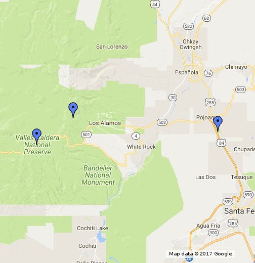
You can trace our route. Cochiti Lake, where we are staying, is at the bottom of the map, in the center. To get to Los Alamos, we crossed Bandelier and the Valles Caldera Preserve. Quite a trip!
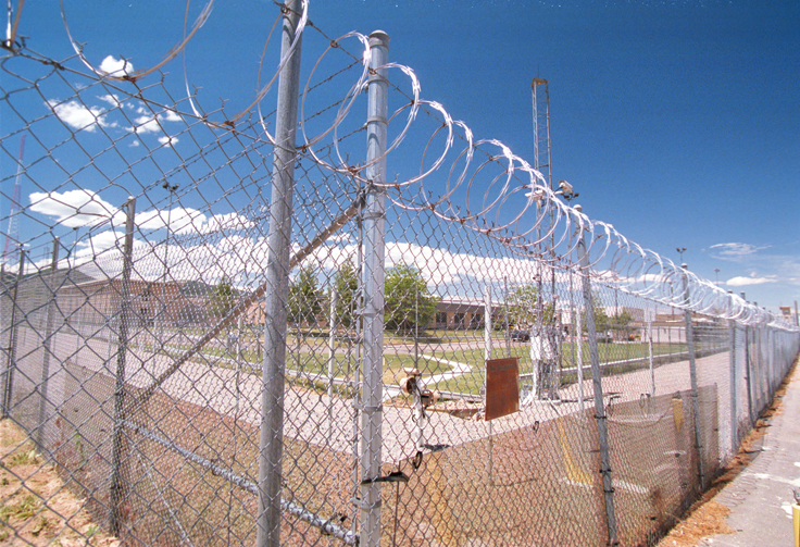
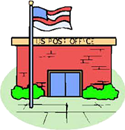
This photo gives you an idea of how “off limits” is the Los Alamos facility. As you’ll see below, however, I wasn’t deterred until an armed soldier in desert fatigues had a little chat with me!
Florence told me I was crazy when I drove to this kiosk and tried to make small talk with the guard. I figured that when he knew we were tourists from California, perhaps he’d let me drive around inside the gate to take a look. Not. He turned me around and I drove to the spot where this picture was taken. I exited the Jeep and snapped the shot. Then, out of nowhere, came a heavily armed soldier, complete with desert fatigues, a handgun and a rifle. “Halt,” he shouted as he approached me. This guy was obviously not interested in my tourist status or in shooting the breeze. He was more likely to shoot me than the breeze! “No pictures allowed! You must delete any pictures, right now.” I tried to make small talk as I fumbled with the camera in an attempt to delete this picture, explaining I meant no harm. After a few minutes with no success, I convinced him that I’d only taken one picture of the gate and that I had no intention of hanging around to take any more. He said, “Well okay, you must leave the area, now!” As he turned and headed back to the gate, I wanted desperately to snap his picture. But what if he turned around and saw me? I decided against it.
TIME TO GO “HOME.” After my “session” with the sentry, we decided it was time to get back to our coach and to Molly, who undoubtedly by then was wondering whether we’d ever return. We’d already been gone almost four hours, so rather than returning back down that treacherous road, we drove the other direction, on an improved road, from Los Alamos to Santa Fe and then about 20 miles to Cochiti Lake. Molly was glad to see us and I was glad to be off that road!
WE’RE OFF TO THE RANCH. Our next stop will be in Deming, New Mexico. The weather is considerably warmer and we’ve discovered an RV park which is part of a working ranch. We’re told that there are lots of off-road Jeep trails, too. So maybe we can do this again, with some better pictures. I hope you’ll join us there.

I’ll continue my story next time.


Nice post, beautiful country.
Jon, “thank you.”
Wow, what a country. Kit Carson used to roam that country looking for lost cattle when he wasn’t off wandering other parts of the west.
As you head south toward Deming be sure to stop at ‘Hatch’ to pick up some chilies and recipes you can try out.
Randy, you are such a resource! We were just today driving through the middle of nowhere when we stopped for a short break. I checked my email and saw your comment about Hatch. “What the hell is Hatch?” I asked myself. We began driving again and before we knew it, there was tiny little village called Hatch! I’ll be darned. It appears to be the chili capital of the world! I’ve never seen so many chilies, even driving down the road. There are “ropes” of them, for sale, all over town. We didn’t have time to stop today, but we will do so before we leave the area, and I’ll give you a “report.”