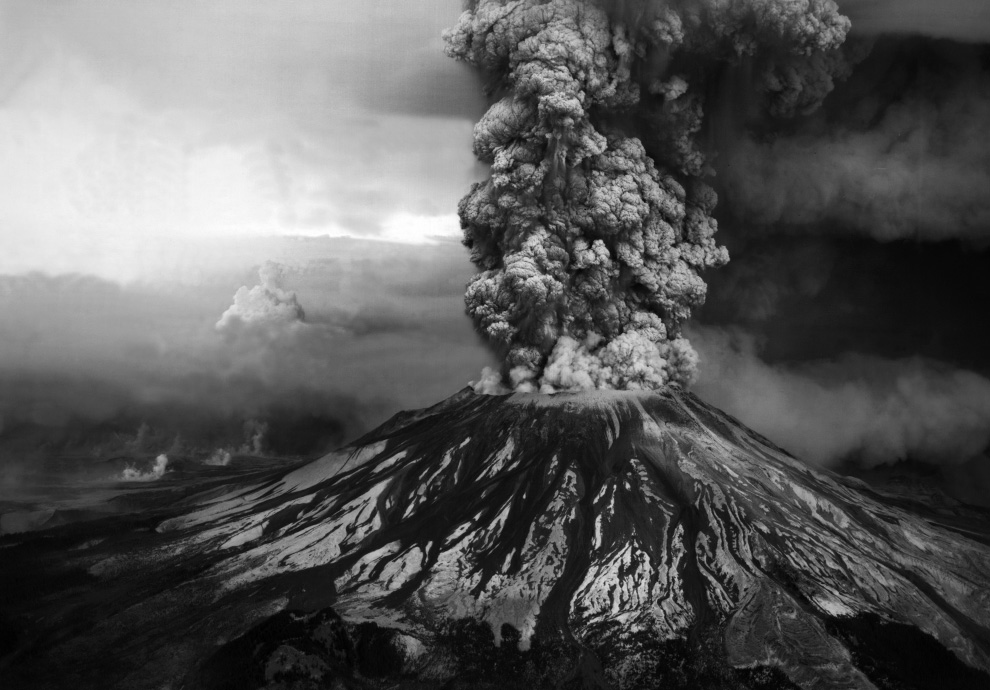
This photograph was taken as Mt. St. Helens erupted in what was the most destructive volcanic activity ever to occur in the United States. May, 1980.
MAY 30, 2014
Today dawned warm and sunny…a perfect day for a trip to Mt. St. Helens to witness the beauty of the snow capped mountain and see the devastation still remaining from the volcanic eruption which occurred there in May of 1980. Mt. St. Helens is an active volcano located in Washington state about 50 miles northeast of Portland, Oregon. The volcano is located in the Cascade Range. It is well known for its ash explosions and pyroclastic flows.
Mt. St. Helens is most notorious for its catastrophic eruption on May 18, 1980. This was the deadliest and most economically destructive volcanic event in the history of the United States. Fifty seven people were killed, 250 homes and 47 bridges were destroyed and 185 miles of highways were lost. 15 miles of railway were destroyed. An earthquake measuring 5.1 on the Richter scale triggered a massive debris avalanche causing an eruption that reduced the elevation of the mountain’s summit more than 1,000 feet, replacing it with a mile-wide horeshoe-shaped crater. The debris avalanche blew down or scorched 230 square miles of forest as it roared 14 miles down the Toutle River.
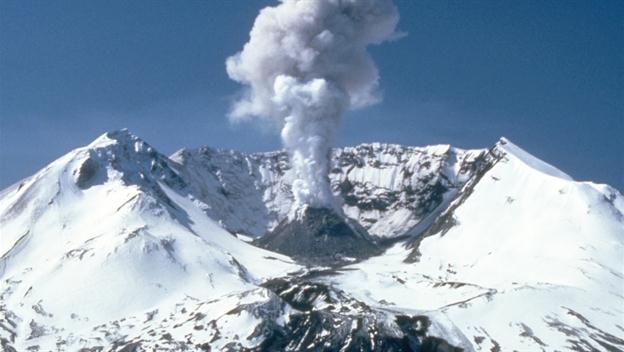
Two years after the main eruption, Mt. St. Helens was still steaming. May, 1982.
At the same time, a mushroom-shaped column of ash rose thousands of feet skyward and drifted downwind, turning day into night as dark, gray ash fell over eastern Washington and beyond. Wet, cement-like slurries of rock and mud scoured all sides of the volcano. Searing flows of pumice poured from the crater. The eruption lasted 9 hours, but Mt. St. Helens and the surrounding landscape were essentially destroyed within 3 minutes! Today, the 110,000-acre National Volcanic Monument for research, recreation and education stands at the site of this natural catastrophe. The environment has been left to respond naturally to the disturbance and as a reminder to us of the power and unpredictably of Mother Nature.
Today, the Mountain has stopped steaming and is beautifully snow-covered much of the year.
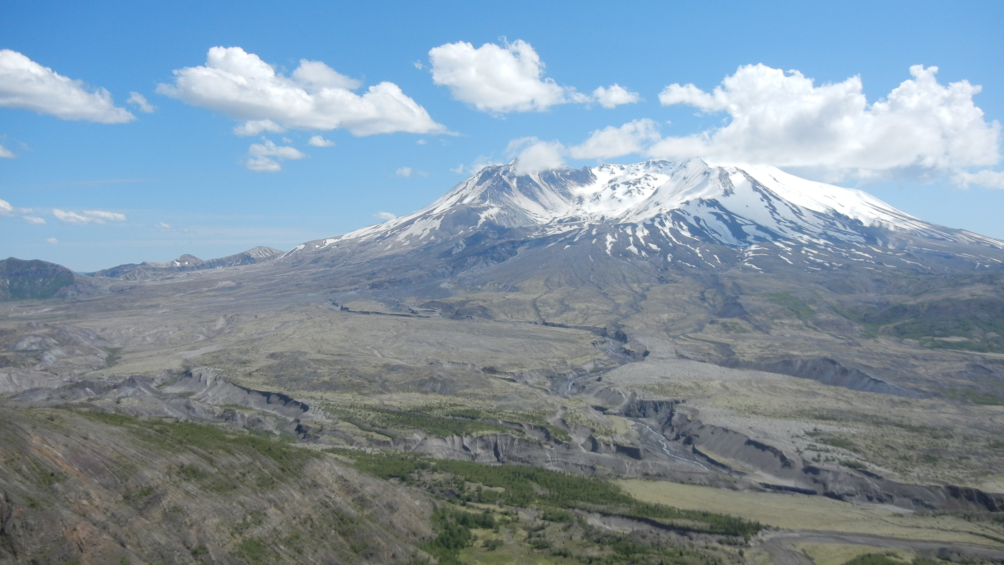
Mt. St. Helens today, as seen from the Johnston Ridge Observatory. May, 2014.
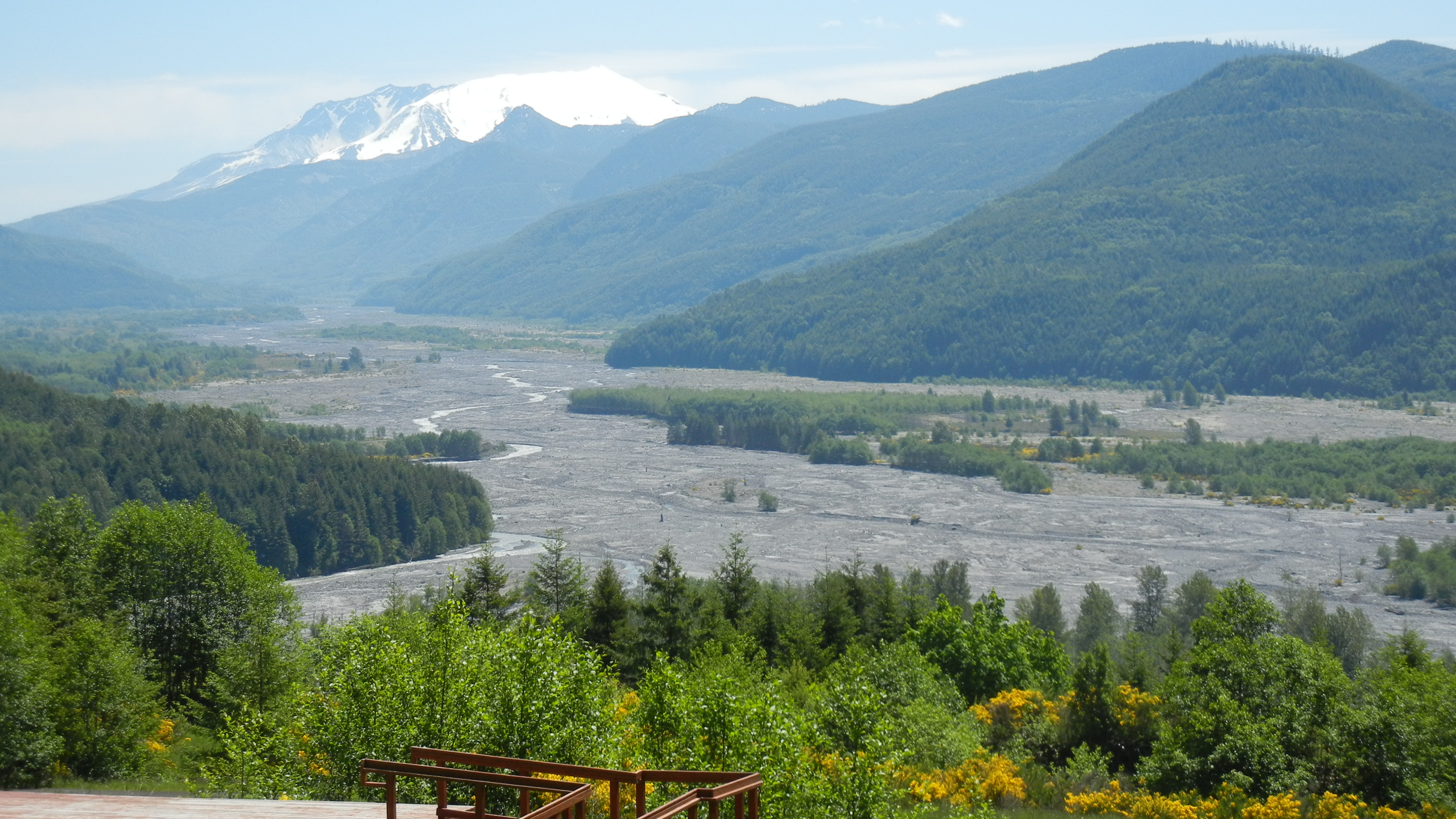
15 miles from the volcano and 34 years later, the devastation caused by the eruption of Mt. St. Helens is still very evident. The volcanic ash which spewed from the mountain is very infertile, so to this day there is little vegetation. The devastated area looks like a river in this photo, but it’s actually volcanic silt. May, 2014.
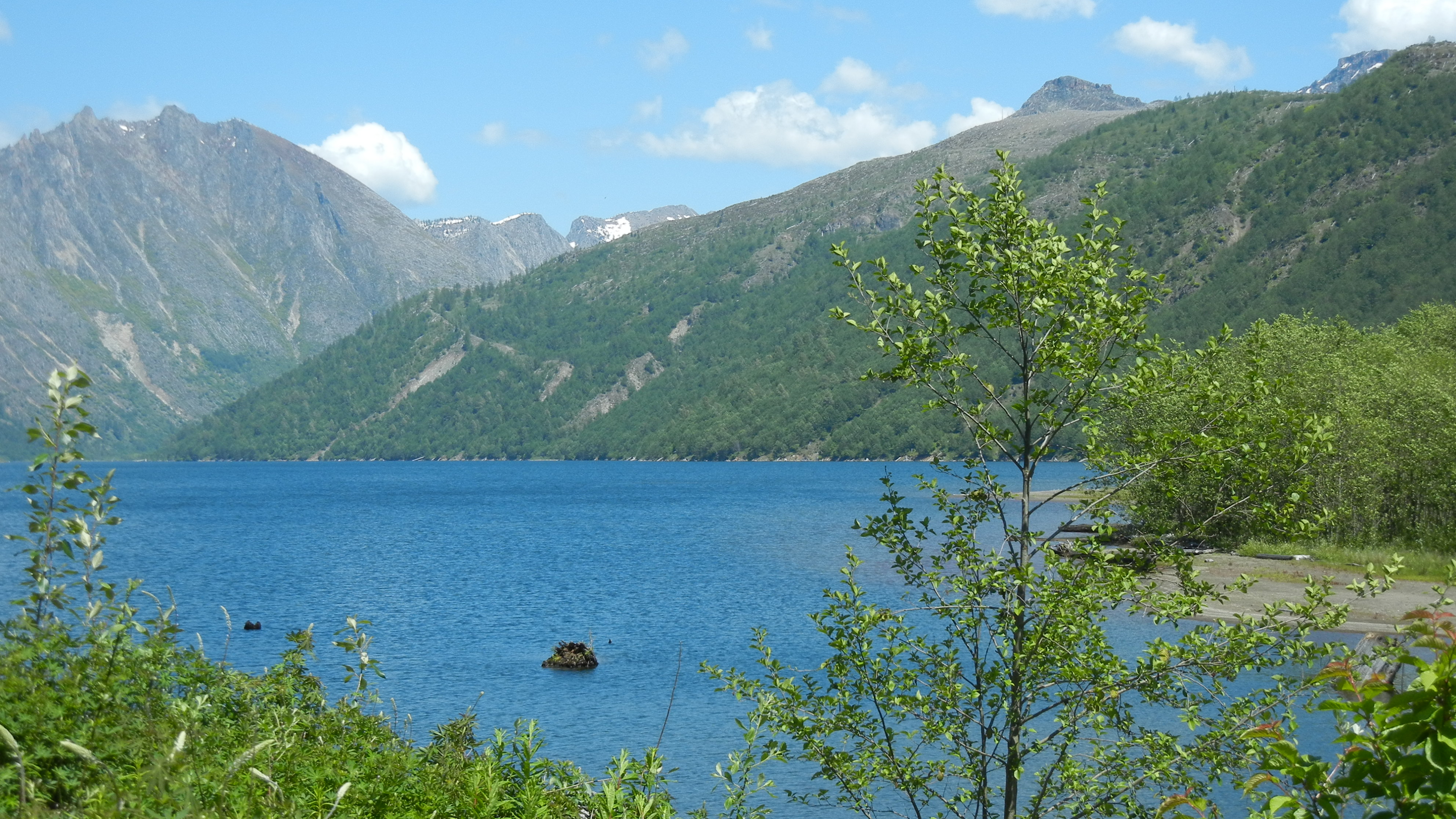
When the landslide from Mount St. Helens slid into the Toutle River Valley, it blocked the flow of Coldwater Creek. Water backed up behind the landslide deposit and created what is now Coldwater Lake. The water level is about 600 feet higher today than what had been the creek level before the volcano erupted.
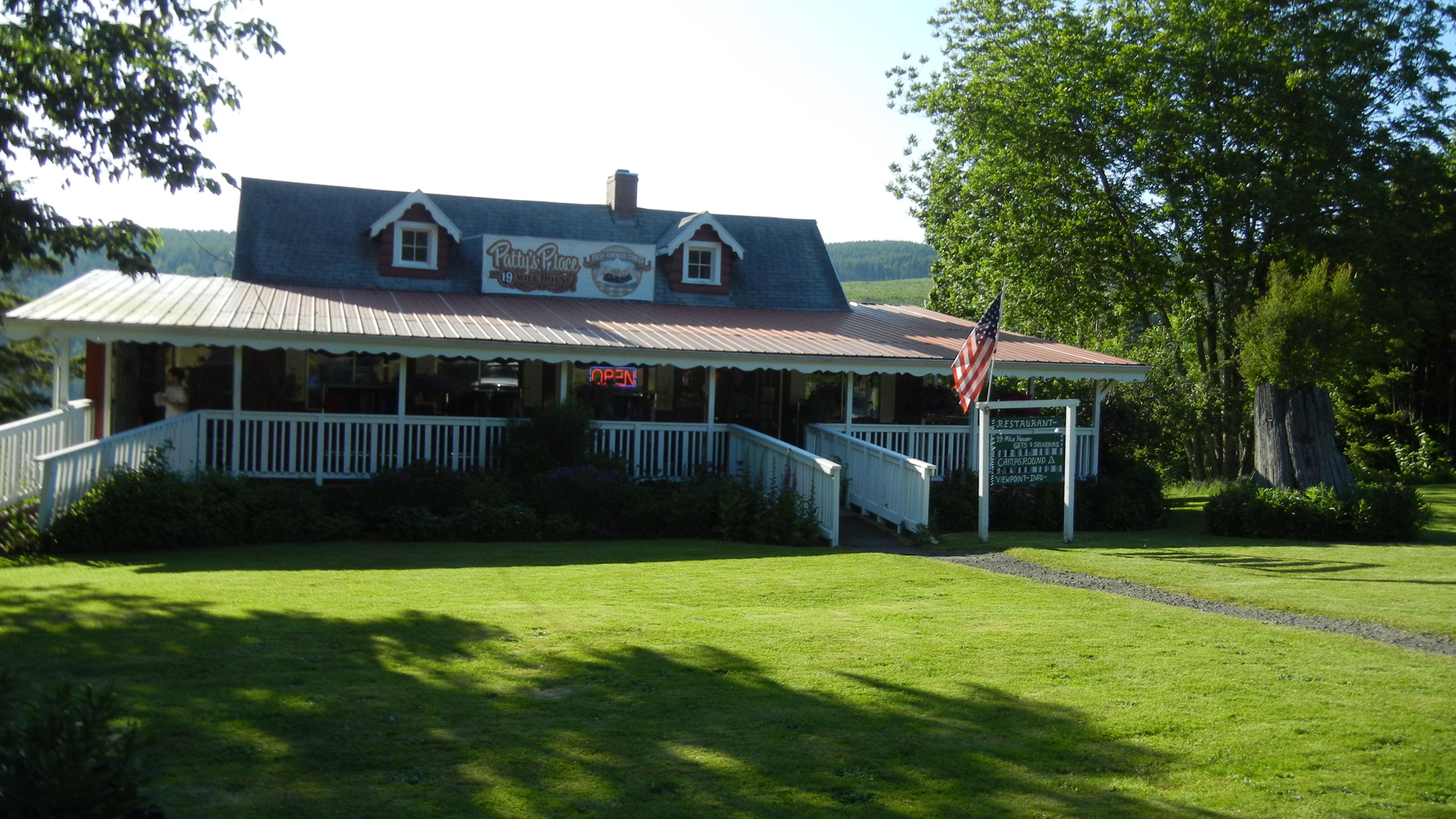
Patty’s Place Diner located right on the Toutle River. We stopped here for an early dinner on our way back from the mountain.
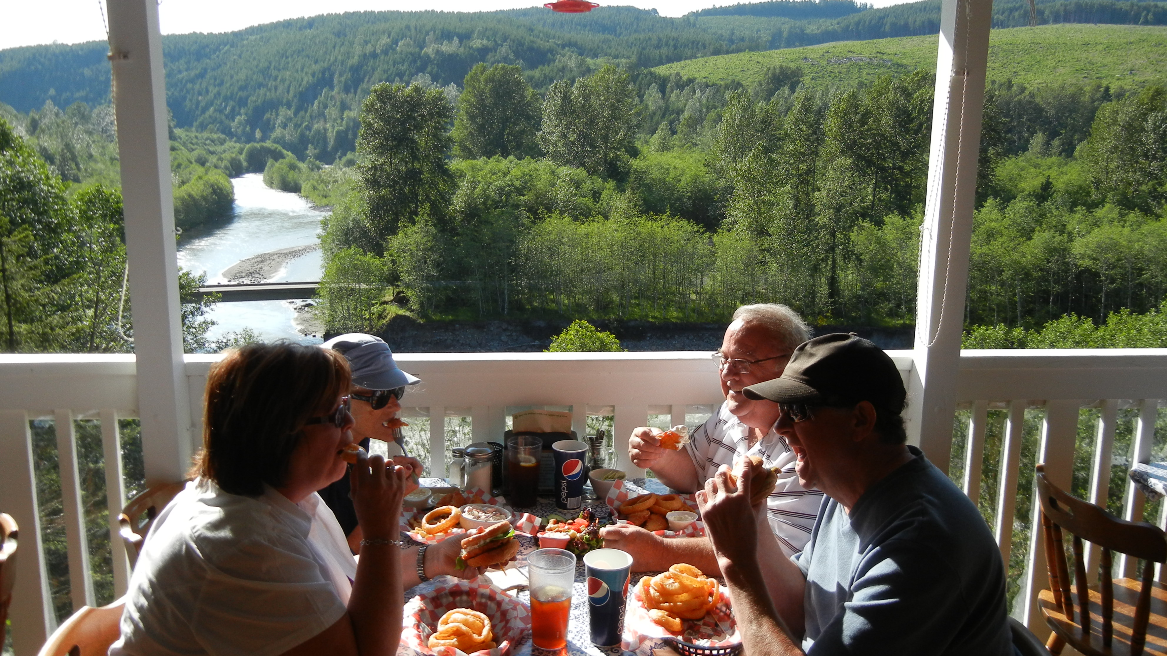
Not a bad view of the river, huh? Florence and I had fish and chips. John and Jude had “Volcano Burgers.” What else would they call hamburgers on the road to Mt. St. Helens?
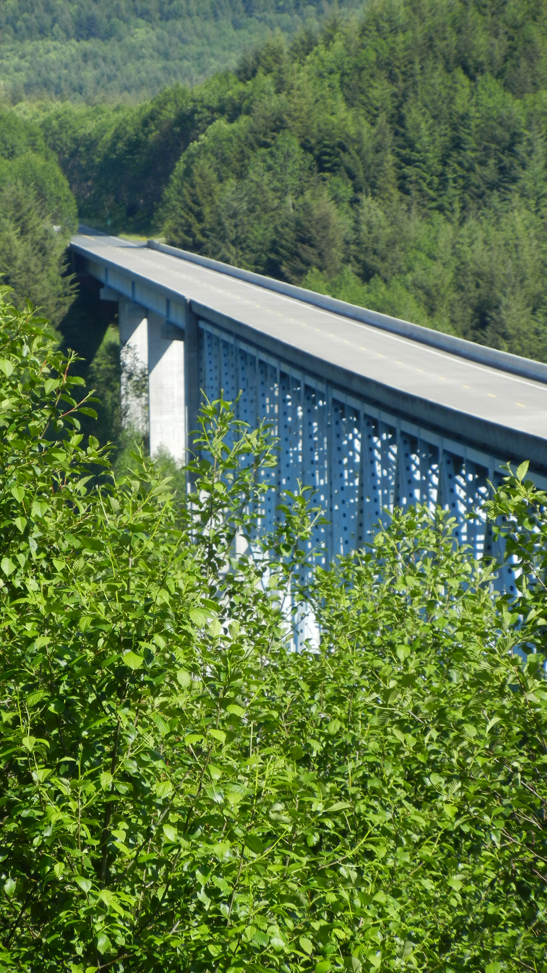
My least favorite part of the drive.
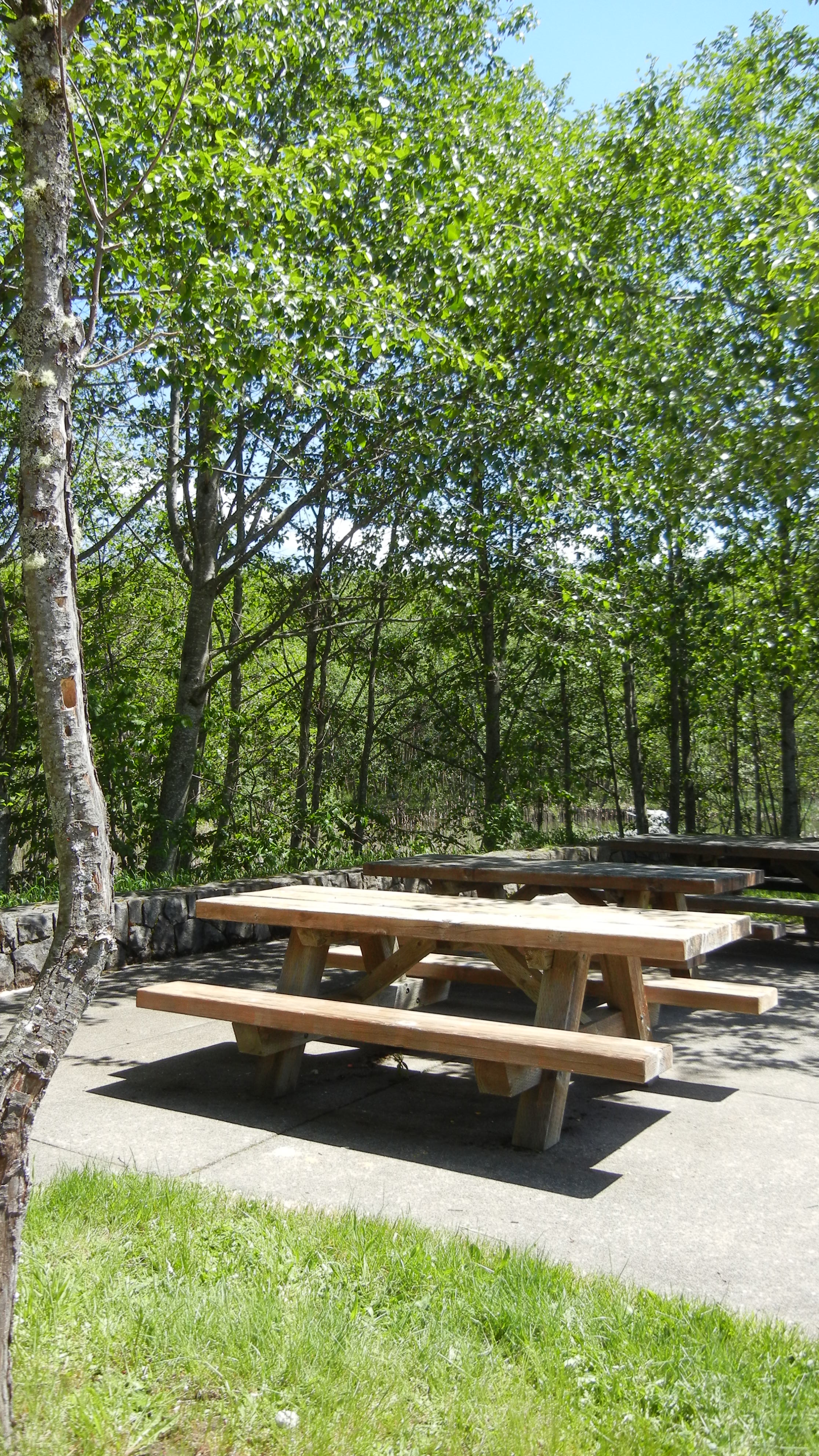
Rest area where I recuperated after my least favorite part of the drive.