JULY 2, 2015

Provincetown, colored red on the map, is at the very tip of Cape Cod. We’re staying in Falmouth, at the lower left on the map. The drive took about an hour and a half.
OUR TRIP TO P-TOWN. We took a day trip to see the quaint colonial town of Provincetown, called “P-Town by the locals. It’s about an hour’s drive “up” the Cape from where we’re staying “down” the Cape in Falmouth. As you can see from the map I’ve inserted, Cape Cod is shaped like an upraised arm, bent at the elbow, with Cape Cod National Seashore extending as a forearm. At the end of the forearm, the red-colored “fist” is P-Town.
IT’S CONFUSING. Although we often rely on local folks to give us suggestions and directions, for our trip today we relied on our Jeep’s navigation system. Here’s why: The residents here have divided the Cape into three districts, with names that don’t make any sense. The “Mid” and “Upper” Cape is actually the southernmost portion, closest to the mainland. And the “Lower” Cape is the northernmost section. So getting sensible directions from the locals is next to impossible. You see, we’re staying in the lower part of the Cape, called the “Upper Cape.” Anyway, enough of this!
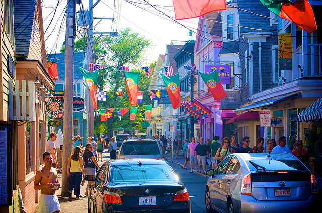
Driving down Commercial Street is next to impossible. We didn’t spend much time here…it’s too, well…”commercial.” Other parts of town were far more appealing.
ABOUT PROVINCETOWN. The town has a colorful history. The Pilgrims first landed here in 1620 and stayed for five weeks before pushing on to the mainland (indicated by the tan color on the map). During that time, they drafted the Mayflower Compact, a forerunner of the American Constitution. Later, P-Town grew into a major 18th century fishing center, By the beginning of the 20th century, it also had a bustling artists’ colony. Today, the popular and eccentric town is one of New England’s most vibrant destinations.
PILGRIM MONUMENT. The place where the Pilgrims first landed is marked by a bronze plaque on Commercial Street and commemorated by the tallest granite structure in the United States, the 250 foot Pilgrim Monument. On a clear day, the view from the top extends all the way to Boston…about 55 miles distant.

Pilgrim Monument commemorates the Pilgrims’ landing in 1620.
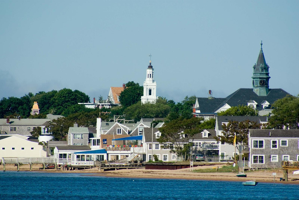
Photo of P-Town, taken from the pier where the high speed ferries take commuters to and from Boston, about 55 miles distant.

The ocean water on Cape Cod is way too cold to tempt me. But even if it were lots warmer, I don’t think I’d go swimming after seeing this sign today!
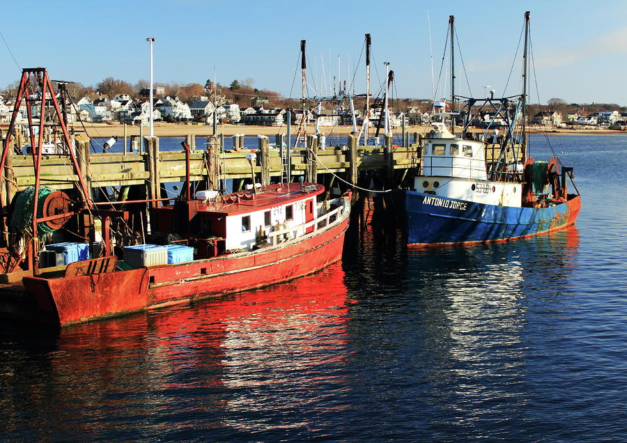
THE HARBOR AT P-TOWN. The harbor at Providencetown bustles with people boarding and departing ferries to Boston and Plymouth, Massachusetts. Others visit the Pirate Museum located at the end of the pier or make arrangements at the little booths lining the pier for fishing charters and sightseeing or sunset cruises. About a dozen fishing trawlers home-port here, as well.
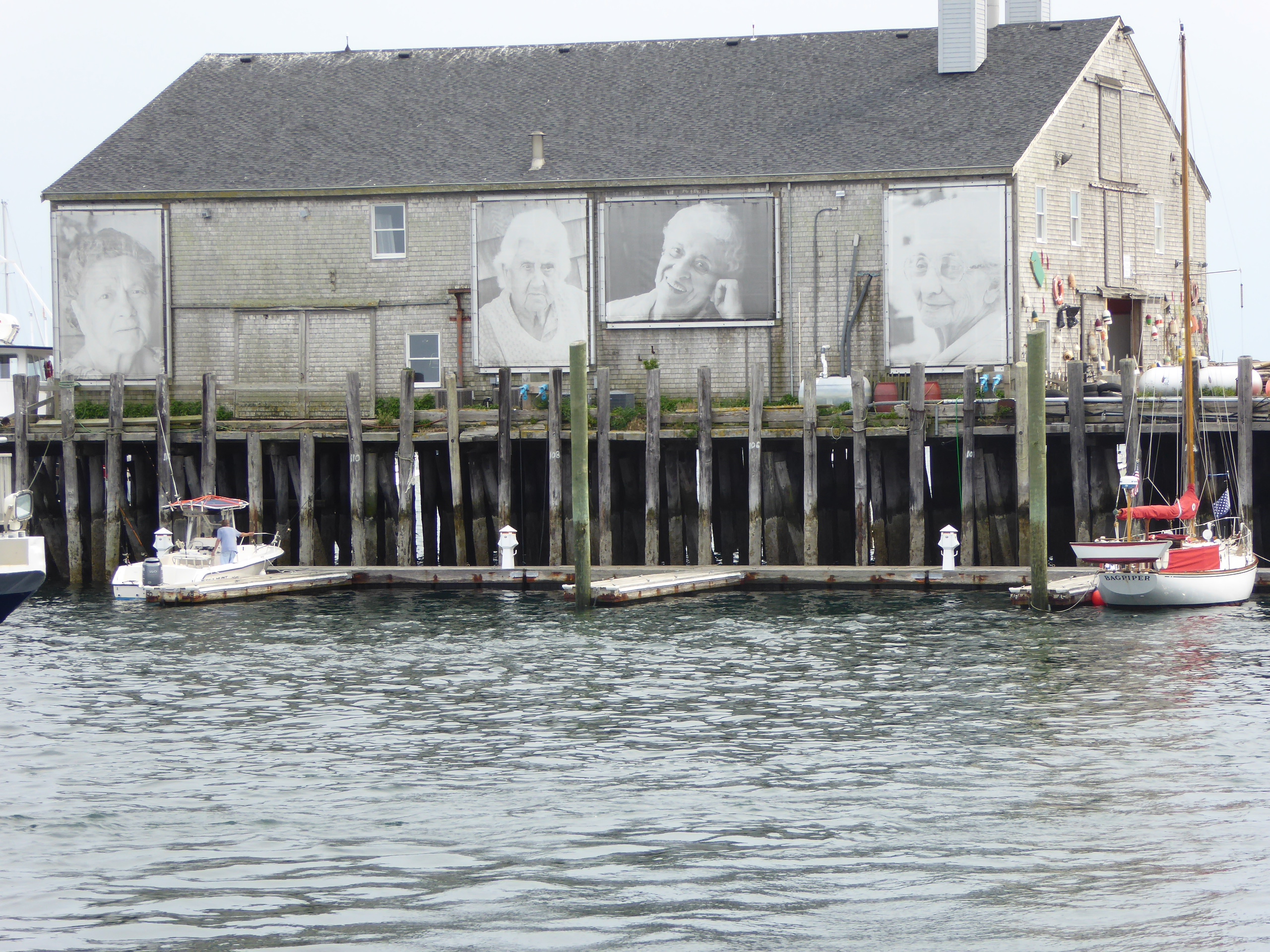
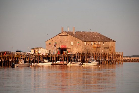
An interesting building on an adjacent pier. I don’t know the meaning or background of the photos of the people.
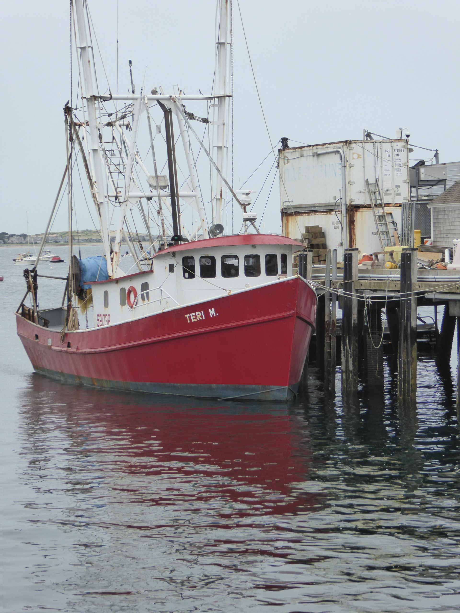
One of the commercial trawlers home-ported at P-Town.
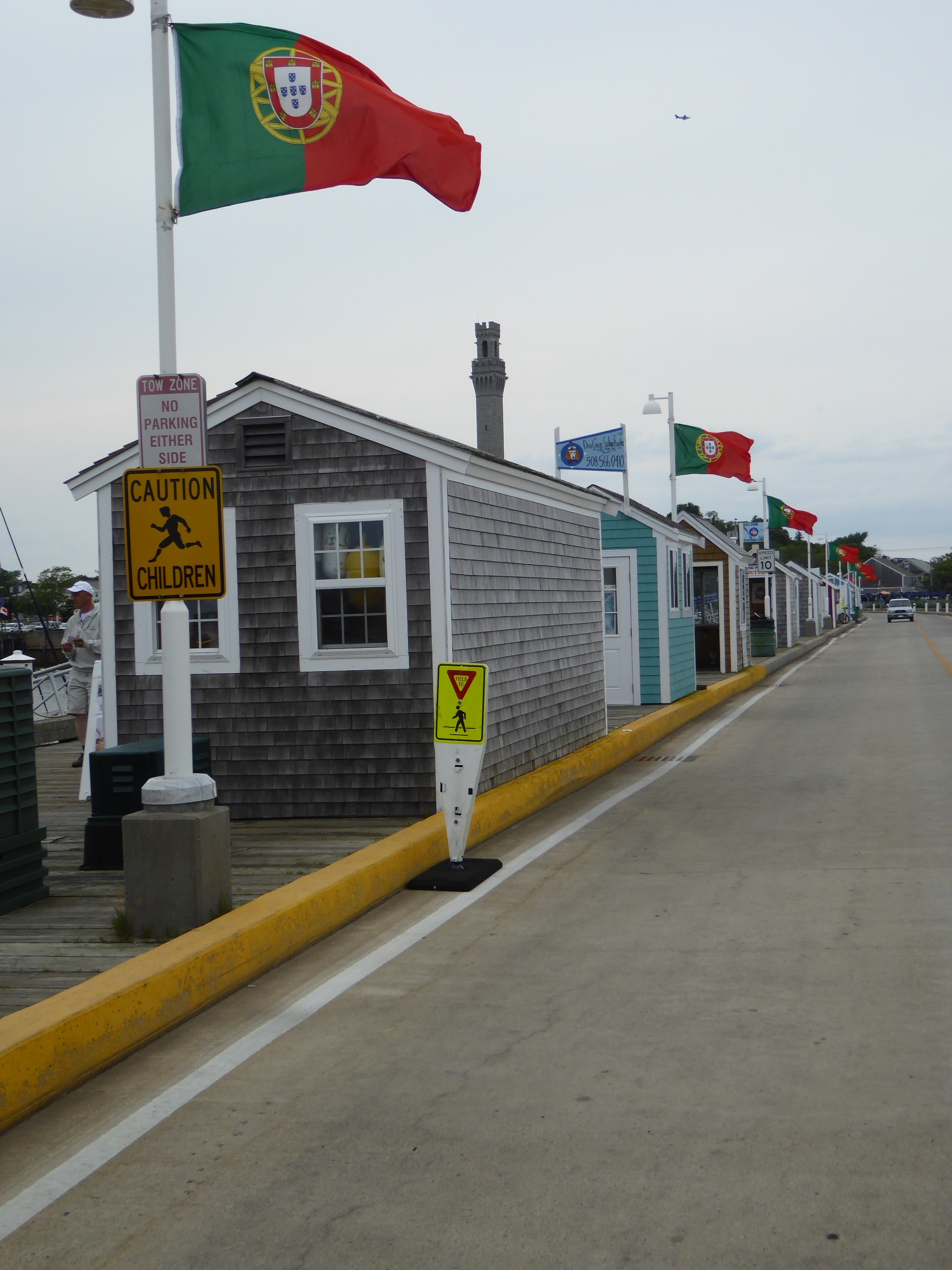
Boat charter booths schedule fishing and sightseeing trips.
JOIN US AGAIN SOON. OUR ADVENTURE CONTINUES.
We have lots more to see during our visit to Cape Cod. The 57 mile National Seashore awaits, as does a high speed ferry trip to Boston. Another ferry will take us to Martha’s Vinyard, about a 45 minute ride from Falmouth. I even found a boat today that will take me lobster fishing…that would be a hoot, wouldn’t it? We’ll be here at least another week, so be sure to come back soon and take a look.

Florence got a haircut a few days ago. I like it!

What do you think?